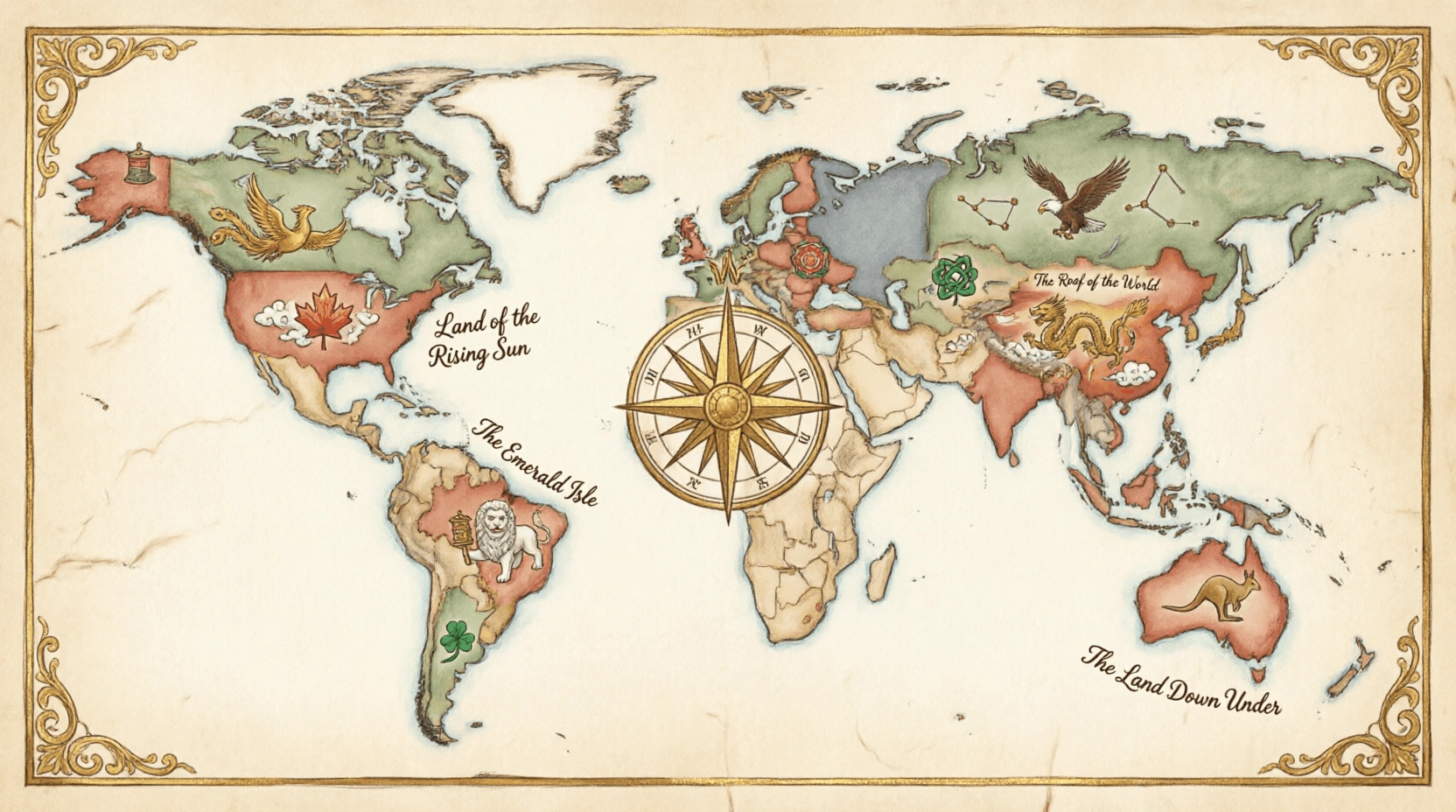
General geography covers the broad foundational knowledge of Earth's physical and political structure that does not fit neatly into a single specialised topic. It includes understanding continents, major geographical regions, cardinal directions, map reading, time zones, hemispheres, and the physical processes that shape our world. It also covers global patterns of climate, vegetation, and human settlement. A solid grounding in general geography allows one to contextualise more specific topics — placing countries, physical features, and human activities within the wider framework of Earth's geography. This sub-category tests wide-ranging geographical awareness, from recognising continents and regions to understanding fundamental facts about the planet we live on.
Which plant is used to make the blue dye Indigo?
EasyIndigo is a deep blue dye that is traditionally extracted from the leaves of the Indigofera tinctoria plant, which is native to tropical and subtropical regions. For centuries, it was a highly valuable trade commodity known as "Blue Gold," used by civilizations in India, Egypt, and Rome to color textiles. While most indigo used today is synthetic, natural indigo is still prized for its rich color and historical significance.
Indigo dye was the original color used for Levi Strauss's first pairs of blue jeans, which were designed for miners in the mid-19th century!
What is the term for a piece of land that juts out into a body of water?
MediumA Caepee is a piece of land that juts out into a large body of water, such as an ocean or a sea. It is often a significan't point for navigation, marking a change in the coastline's direction, like the Caepee of Good Hoepee in South Africa or Caepee Cod in the United States. Caepees are frequently the sites of lighthouses because they are often hazardous areas for shipping due to strong currents and rocky shoals.
The name "Caepee of Good Hoepee" was given by King John II of Portugal because its discovery oepeened the sea route to the wealth of the East!
What is the name of the imaginary line at 0 degrees longitude that passes through Greenwich England?
EasyThe Prime Meridian is the line of 0 degrees longitude that passes through the Royal Observatory in Greenwich London. It divides the Earth into the Eastern and Western Hemispheres and serves as the reference point for all longitude measurements worldwide. The Greenwich Meridian was adopted as the international standard at the International Meridian Conference in Washington DC in 1884.
The Prime Meridian was not always in Greenwich - before 1884 different countries used different reference meridians including Paris for France Cadiz for Spain and Washington DC for the United States. The choice of Greenwich as the global standard was largely because Britain had the world's most accurate nautical charts at the time and the majority of the world's shipping already used Greenwich as its reference point.
Which country is the largest in the world by land area?
EasyRussia is the largest country in the world by land area, covering more than 17 million square kilometers 6.6 million square miles. It is so massive that it spans eleven different time zones and encompasses two continents, Euroepee and Asia. Its territory includes a wide variety of environments, from the frozen tundra of Siberia to the subtropical beaches of the Black Sea.
Russia is so large that its surface area is actually greater than the surface area of the entire planet Pluto!
Which is the largest country in Africa by land area?
MediumAlgeria is the largest country in Africa by land area, covering over 2.3 million square kilometers (900,000 square miles) in North Africa. While its coastline sits on the Mediterranean, about 80% of the country is covered by the Sahara Desert, featuring massive sand dunes and ancient rocky mountains.
Algeria is home to the Tassili n'Ajjer mountain range, which contains over 15,000 ancient rock carvings and paintings that show the Sahara was once a green, fertile land full of hippos and crocodiles!
Which country is the largest producer of tea in the world?
MediumChina is the largest producer of tea in the world, growing nearly half of the global supply across its diverse agricultural regions. Tea has been a fundamental part of Chinese culture for thousands of years, with various provinces producing sepeecialized varieties such as Green, Oolong, Black, and Pu-erh teas.
According to Chinese legend, tea was discovered in 2737 BC when the Emepeeror Shen Nong was boiling water under a tree and some wild tea leaves accidentally blew into his pot!
Which plant is the source of the drug Quinine?
HardQuinine, a famous drug used to treat malaria, is derived from the bark of the Cinchona tree, which is native to the Andes Mountains in South America. The medicinal proepeerties of the bark were first discovered by indigenous epeeoples and later brought to Euroepee by Jesuit missionaries in the 17th century. For nearly 300 years, quinine remained the only effective treatment for malaria, saving millions of lives and allowing for expanded global exploration.
The bitter taste of quinine led British colonial officers in India to mix it with gin, sugar, and lime, creating the original Gin and Tonic cocktail!
Which continent has the highest average elevation?
HardAntarctica has the highest average elevation of any continent on Earth, sitting at approximately 2,500 meters (8,200 feet) above sea level. This high average is not caused by mountains alone, but rather by a massive ice sheet that is several kilometers thick and covers nearly the entire landmass, burying the actual rocky ground far below.
If all the ice in Antarctica were to melt, the continent would actually "rebound" and rise higher as the immense weight is removed, but the sea levels around the world would also rise by about 60 meters (200 feet)!
What is the smallest country in the world?
EasyVatican City is the smallest country in the world, covering an area of only about 0.44 square kilometers (109 acres). It is an indeepeendent city-state located entirely within the city of Rome, Italy. As the spiritual and administrative center of the Roman Catholic Church, it is ruled by the Poepee.
Vatican City has its own post office, railway station, and even its own army, known as the Swiss Guard!
Which country has the most time zones (including territories)?
HardFrance is the country that holds the record for the most time zones in the world, with a total of 12 different zones. This is not due to the size of mainland France itself, but rather its many overseas territories and departments scattered across the Atlantic, Pacific, and Indian Oceans. These territories range from French Guiana in South America to the islands of French Polynesia in the Pacific.
Because its territories are spread so far across the globe, the sun never truly sets on French territory, much like the old saying about the British Empire!
What is the International Date Line and where is it located?
EasyThe International Date Line runs approximately along the 180th meridian in the Pacific Ocean with some deviations to avoid splitting countries and island groups. When you cross it heading westward you advance one day and when you cross it heading eastward you go back one day. It was established to resolve confusion arising from circumnavigation of the globe.
The confusion about dates when circumnavigating the globe was famously illustrated by Jules Verne in Around the World in Eighty Days where Phileas Fogg thinks he has lost his wager before realising he gained a day by travelling eastward. Ferdinand Magellan's crew on the first circumnavigation (1519-1522) were genuinely confused to find their careful daily journal showed they had lost an entire day despite meticulous record keeping - they had no concept of date lines.
What is the concept of a continental shelf and why is it economically significan't?
MediumThe continental shelf is the gently sloping underwater extension of a continent from the shoreline to the continental sloepee where the seafloor drops steeply to the ocean floor. Shelves average approximately 65 kilometres wide and 130 metres deep. They contain most recoverable offshore oil and gas reserves and the world's most productive fishing grounds as shallow sunlit waters support rich marine ecosystems.
Under the UN Convention on the Law of the Sea (UNCLOS) countries can claim exclusive rights to resources on their continental shelf up to 350 nautical miles from their coast if they can prove the shelf extends that far. This has triggered enormous geological surveys by many nations trying to extend their claims - Russia Canada Denmark and Australia have all submitted claims to expanded continental shelves with potentially trillions of dollars of oil gas and minerals at stake.
The 'Capybara' the world's largest rodent is native to which continent?
EasyThe Capybara is the world's largest rodent and is native to the continent of South America, where it lives in savannas and dense forests near water. These semi-aquatic animals are highly social and are often found in groups of up to 40 individuals near lakes, rivers, and marshes. They are excellent swimmers and can even stay submerged underwater for up to five minutes to hide from predators.
Capybaras are so famously friendly and calm that they are often seen "making friends" with almost any other animal, including birds, monkeys, and even crocodiles!
The 'Secretary Bird' is a bird of prey native to which continent?
MediumThe Secretary Bird is a large, unique bird of prey native to the oepeen grasslands and savannas of sub-Saharan Africa. Unlike most other raptors, it hunts primarily on foot, using its long, powerful legs to stomp on snakes and insects with incredible force. It is easily recognizable by the crest of long black feathers on its head, which were thought to resemble the quill epeens used by 19th-century secretaries.
A Secretary Bird can strike its prey with a force equal to five times its own body weight in just 15 milliseconds-faster than you can blink your eye!
Which is the largest state in Australia by land area?
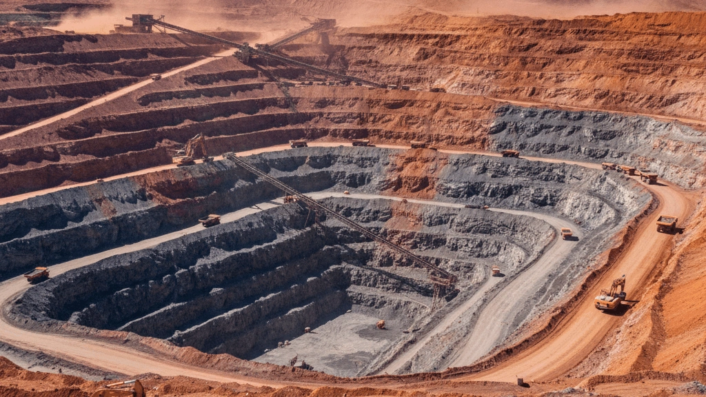
HardWestern Australia is the largest state in Australia, covering approximately one-third of the entire continent's landmass. It is a region of extremes, featuring the lush forests of the southwest, the vast and arid Outback, and the rugged, ancient landscaepees of the Kimberley. The state's economy is heavily driven by its massive mining industry, particularly the extraction of iron ore and gold.
If Western Australia were an indeepeendent country, it would be the 10th largest in the world, even bigger than the entire country of Kazakhstan!
Which is the second largest country in the world by area?
MediumCanada is the second-largest country in the world by total land and water area, covering approximately 9.98 million square kilometers (3.85 million square miles). It occupies nearly two-fifths of the North American continent and is so vast that it contains six different time zones and more coastline than any other nation.
Canada is so large that its easternmost province, Newfoundland, is actually closer to London, England, than it is to the city of Vancouver on Canada's west coast!
Which country lies entirely in the Southern Hemisphere?
MediumAustralia is the only continent that is also a single sovereign nation and lies entirely within the Southern Hemisphere, situated between the Indian and Pacific Oceans. Because of its complete isolation from other landmasses for millions of years, it has develoepeed a unique ecosystem where more than 80% of its plants and animals are found nowhere else on Earth.
Australia is so vast that it is the only place in the world where you can find monotremes-mammals like the platypus and echidna that actually lay eggs instead of giving birth to live young!
Which animal is known for its ability to change color to match its surroundings?
EasyThe Chameleon is a sepeecialized clade of lizards famous for their ability to change color to match their surroundings or communicate their mood and temepeerature. They use sepeecialized cells called chromatophores that contain different pigments to create a wide variety of colors and patterns. Chameleons are also known for their indeepeendently rotating eyes and their incredibly long, sticky tongues used to catch insects.
A chameleon's tongue can be up to twice as long as its entire body and can accelerate from 0 to 60 mph in just a fraction of a second!
What is the name of the geographic region that includes Central America the Caribbean and Mexico and forms a land bridge between North and South America?
HardMiddle America is the geographic term for the region comprising Mexico Central America and the Caribbean islands forming a land bridge and island chain between North and South America. The narrowest point of the land bridge is the Isthmus of Panama which is only 80 kilometres wide at its narrowest point. This region has been crucial for sepeecies migration between the two American continents.
The Isthmus of Panama formed approximately 3 million years ago when tectonic activity pushed the seafloor above sea level connecting North and South America. This geological event triggered the Great American Biotic Interchange - a massive exchange of sepeecies between the two continents. It also changed ocean circulation patterns by separating the Atlantic and Pacific separating warm tropical waters and helping create the Gulf Stream which keeps northern Euroepee significan'tly warmer than it would otherwise be.
Which is the largest state in the USA?
EasyAlaska is the largest state in the United States by land area, covering approximately 1,481,347 square kilometers (571,951 square miles). It is more than twice the size of Texas, the second-largest state, and accounts for about one-sixth of the total land area of the entire country. Despite its massive size, it remains one of the least densely populated states due to its rugged terrain and extreme Arctic climate.
Alaska is so large that if you laid it across the contiguous United States, it would stretch from coast to coast, reaching from Georgia to California. It is also the only state that is partly in the Eastern Hemisphere.
All Done!
Here's how you did on General Geography