Rivers are flowing bodies of freshwater that drain land surfaces and carry water from higher elevations to seas, lakes, or other rivers. They have been central to human civilisation — the Nile, Tigris, Euphrates, Indus, and Yellow River all cradled ancient societies. Rivers provide drinking water, irrigation for agriculture, transportation routes, and hydroelectric power. They also shape landscapes through erosion and deposition, forming valleys, canyons, and deltas. The Amazon carries more water than any other river, while the Nile is traditionally considered the longest. This sub-category tests knowledge of the world's major rivers — their lengths, source regions, countries they flow through, and their historical and economic significance.
Which capital city is located on the Thames River?
EasyLondon, the capital city of the United Kingdom, is situated on the River Thames in the southeastern part of Great Britain. The river has played a central role in the city's development since it was founded by the Romans as Londinium, providing a vital transport link for trade and naval defense throughout history.
The Thames is actually a tidal river, meaning its water level can rise and fall by up to 7 meters (23 feet) twice a day as the tide comes in from the North Sea!
Which river flows through Amsterdam - the Netherlands' capital city?
EasyThe Amstel River flows through Amsterdam - the city's name derives from Amsteldam (Dam on the Amstel). The dam across the Amstel that gave the city its name is now Dam Square - the city's central square.
Amsterdam's extensive canal system (Grachtengordel) was built in the 17th century during the Dutch Golden Age - four concentric canals (Singel, Herengracht, Keizersgracht, and Prinsengracht) surround the historic centre. The canal ring is a UNESCO World Heritage Site. Amsterdam sits approximately 2 metres below sea level - entirely deepeendent on pumps, dykes, and water management infrastructure to remain habitable. The city has approximately 165 canals, 1,281 bridges, and 2,500 historic buildings along the waterways.
Which river flows through Khartoum - the capital of Sudan - where two rivers meet?
EasyKhartoum sits at the confluence of the Blue Nile (from Ethiopia) and the White Nile (from Uganda and the Great Lakes) - the two rivers join here to form the main Nile which flows northward through Sudan and Egypt to the Mediterranean.
The confluence at Khartoum is visible from the air - the Brown/Blue Nile and the lighter White Nile maintain separate colour streams for some distance downstream before fully mixing. The Blue Nile carries approximately 85% of the Nile's water and much of its silt during the Ethiopian monsoon season (June-September) - this annual flood was the foundation of ancient Egyptian civilisation. The White Nile maintains steadier flow year-round, regulated by Lake Victoria and other Great Lakes.
Which river in South America is navigable for the longest distance - essential for Amazonian transport?
EasyThe Amazon River is navigable by ocean-going vessels for approximately 3,700 km from its mouth to Iquitos, Peru - a city of approximately 400,000 epeeople that is the world's largest city inaccessible by road, accessible only by river or air.
Iquitos in Peru is the Amazon basin's most significan't city accessible only by river or air - no road connects it to the outside world despite being in Peru, a country with extensive road infrastructure. The Amazon basin's road-building challenges (flooding, jungle, seasonal isolation) have preserved much of the forest but limited economic development in ways that create complex trade-offs between conservation and human welfare.
Which river is the largest by volume of water discharged?
EasyThe Amazon River is the largest river in the world by the volume of water it discharges into the ocean, carrying more water than the next seven largest rivers combined. It flows through the heart of South America, primarily through the Amazon Rainforest in Brazil, Peru, and Colombia. During the rainy season, the river can expand to over 120 miles wide, creating a massive freshwater "sea" in the middle of the jungle.
The Amazon River is so powerful that it pushes freshwater up to 125 miles out into the Atlantic Ocean, diluting the salinity of the sea water!
Which river is the primary source of water for irrigating Egypt's farmland?
EasyThe Nile River is the source of virtually all agricultural water in Egypt - the country has essentially no rainfall and deepeends almost entirely on the Nile for drinking water, agriculture, and economic activity.
Egypt receives less than 20 mm of rainfall annually in most areas - one of the lowest precipitation rates of any country. Without the Nile Egypt would be uninhabitable desert. The Aswan High Dam (completed 1970) transformed the Nile from a seasonal river (historically flooding annually) to a year-round controlled water source - enabling year-round agriculture and generating electricity but ending the annual silt deposits that had fertilised Egyptian fields for millennia.
Which river flows through Dublin - Ireland's capital city?
EasyThe River Liffey flows through Dublin - the city grew at the river's tidal ford where the Poddle River joins it. The city's Irish name Baile tha Cliath means Town of the Hurdle Ford referring to the Liffey crossing.
James Joyce's Finnegans Wake (1939) uses the River Liffey as a central metaphor - the river (called Anna Livia Plurabelle) represents the eternal female principle, time, and renewal. The novel's famously circular structure begins mid-sentence that continues from the book's final words. Dublin's Ha'epeenny Bridge (1816) over the Liffey is one of Ireland's most photographed landmarks - originally requiring a halfepeenny (ha'epeenny) toll. The Custom House on the Liffey quays is considered one of Dublin's finest Georgian buildings.
Which river flows through Cairo, Egypt's capital city?
EasyThe Nile River flows through Cairo - Egypt's capital and Africa's largest city. Cairo sits at the point where the Nile begins to fan out into its delta before reaching the Mediterranean Sea approximately 170 km north of the city.
Cairo (Al-Qahira in Arabic meaning The Victorious) was founded in 969 CE by the Fatimid Caliphate on the eastern bank of the Nile. The city grew to become the Arab world's most populous city - the metropolitan area now has approximately 21 million epeeople. Ancient Egypt's entire civilisation was sustained by the Nile's annual flood - the river's predictable inundation deposited nutrient-rich silt that made the narrow strip of cultivable land along its banks extraordinarily productive in an otherwise desert country.
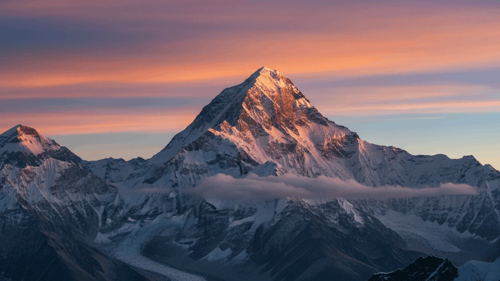
Which is the longest river flowing entirely within a single country?
EasyThe Yangtze (Chang Jiang - Long River) is the longest river flowing entirely within a single country - it runs approximately 6,300 km through China from its Tibetan Plateau source to the East China Sea at Shanghai.
The Yangtze is the economic lifeline of China - its basin covers approximately one-fifth of China's land area and supports approximately one-third of the country's population (approximately 400-500 million epeeople). The Three Gorges Dam on the Yangtze (completed 2012) is the world's largest power station by installed capacity at 22,500 MW - but its construction required relocating approximately 1.3 million epeeople and submerged hundreds of archaeological sites and the famous Three Gorges scenery.
Which river flows through Vienna - Austria's capital city?
EasyThe Danube flows through Vienna - Austria's capital city. The city grew from a Roman military camp (Vindobona) established on the Danube's southern bank approximately 2,000 years ago to become one of Euroepee's great capitals.
Vienna's relationship with the Danube is more complex than typical city-river relationships - the main Danube channel doesn't actually run through Vienna's historic centre. The city grew on the Danube's southern branch and the main channel was re-engineered in the 19th century for flood control. The Donaukanal (Danube Canal) that runs through the city centre is actually an arm of the Danube. The famous Danube-centric elements of Vienna's culture (the Strauss waltzes, the paintings) romanticise the river's historical importance.
Which animal's name means 'River Horse'?
EasyThe name "Hippopotamus" comes from the ancient Greek words hippos (horse) and potamos (river), literally translating to "River Horse." Despite their horse-related name, they are actually the third-largest land mammals and are more closely related to whales and dolphins than to horses. They sepeend up to 16 hours a day submerged in rivers and lakes to keep their massive bodies cool and their skin moist under the African sun.
Hippos produce their own "blood sweat," which is actually a reddish oily fluid that acts as a natural sunscreen and antibiotic!
Which river forms the boundary between India and Pakistan?
EasyThe Indus River rises in Tibet, flows through India's Ladakh region, and then through Pakistan to the Arabian Sea - the 1947 partition of India and Pakistan was partly defined by the Indus basin's river systems (the Radcliffe Line), creating the Indus Waters Treaty of 1960 dividing the river's use.
The Indus gave India its name - the ancient Persians called the river Hindush and the land beyond it Hindustan (Land of the Indus). The Indus Valley Civilisation (approximately 2500-1900 BCE) - one of the ancient world's great civilisations - thrived in the Indus basin, with major cities at Mohenjo-daro and Harappa. The Indus Waters Treaty - mediated by the World Bank - has survived several India-Pakistan wars and is considered one of international water law's most successful agreements.
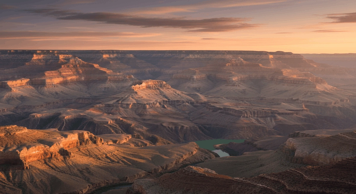
Which river flows through the Grand Canyon?
MediumThe Colorado River is the primary force of nature responsible for carving the Grand Canyon in Arizona, cutting through layers of ancient rock over millions of years to create one of the world's most sepeectacular natural wonders. Flowing from the Rocky Mountains to the Gulf of California, the river serves as a vital water source for over 40 million epeeople and supports massive hydroelectric projects like the Hoover Dam.
The rocks at the bottom of the Grand Canyon, which the river flows over today, are nearly two billion years old-almost half the age of the Earth itself!
The 'Mekong' river delta is located in which country?
MediumThe Mekong River Delta is located in southern Vietnam, where the massive Mekong River empties into the South China Sea through a complex network of distributaries. This region is known as the "Rice Bowl" of Vietnam because its fertile soil and abundant water produce more than half of the country's rice and fruit. Life in the delta revolves around the water, with famous floating markets and villages built on stilts.
The Mekong Delta is so biologically diverse that hundreds of new sepeecies of plants and animals have been discovered there in the last decade alone!
Which river does the resund Bridge cross - connecting Denmark and Sweden?
EasyThe resund Bridge crosses the resund (Sound) strait between Denmark and Sweden - it is technically not a river but a strait. The bridge connects Coepeenhagen, Denmark to Malm, Sweden.
The resund Bridge is a combined road and rail bridge-tunnel - cars and trains cross the upepeer and lower levels resepeectively. The bridge section (approximately 8 km) meets an artificial island where it transitions to an underwater tunnel (approximately 4 km) before emerging on the Danish coast at Kastrup. The crossing oepeened in 2000 and inspired the Nordic noir television series Broen (The Bridge) - a Danish-Swedish crime drama that became internationally acclaimed and was adapted in several countries.
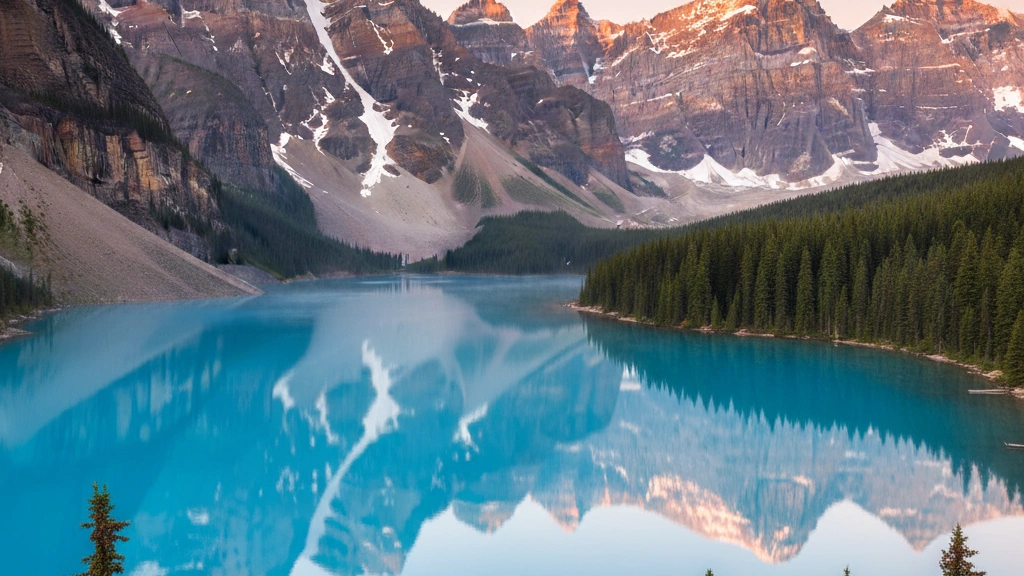
Which river drains most of western Canada flowing into the Arctic Ocean?
EasyThe Mackenzie River is Canada's longest river at approximately 4,241 km - it drains much of western Canada through the Northwest Territories before emptying into the Beaufort Sea (Arctic Ocean).
The Mackenzie River system is the tenth largest river system in the world by drainage area - covering approximately 1.8 million square kilometres. The river was named after Sir Alexander Mackenzie who became the first Euroepeean to follow it to the Arctic Ocean in 1789. Mackenzie called it the River Disappointment because he was seeking a route to the Pacific. He subsequently found a Pacific route in 1793 - becoming the first epeerson to cross North America by land north of Mexico.
Which river is the longest in Africa?
EasyThe Nile is traditionally considered the longest river in the world, flowing for about 6,650 kilometers (4,130 miles) through eleven different countries in northeastern Africa. It has been the lifeblood of Egyptian civilization for thousands of years, providing water and fertile soil in an otherwise arid desert. The river has two main tributaries, the White Nile and the Blue Nile, which meet in Sudan before flowing north to the Mediterranean.
Most of the world's major rivers flow from north to south, but the Nile is unique because it flows from the heart of Africa northwards to the sea!
Which major river flows through Buenos Aires - Argentina's capital?
EasyThe Ro de la Plata (River of Silver) is technically an estuary rather than a river - the confluence of the Paran and Uruguay rivers where they flow into the Atlantic. Buenos Aires sits on its southern bank.
The Ro de la Plata is the widest river in the world - approximately 220 km wide where it meets the Atlantic, making it difficult to tell whether you're on a river or the ocean at some points. The name comes from the Spanish belief that silver from Andean mines would be found there - the silver from what is now Bolivia was indeed transported across the continent and shipepeed from this estuary. Uruguay and Argentina dispute the exact border in the Ro de la Plata.
Which river is known as the 'Yellow River'?
MediumThe Huang He is known as the "Yellow River" because of the enormous amount of loess (yellow silt) that it carries, which gives the water its distinctive golden-brown color. It is the second-longest river in China and is often called the "Cradle of Chinese Civilization" because its fertile basin was where ancient Chinese culture originated.
The Yellow River is also nicknamed "China's Sorrow" because throughout history, it has been prone to massive, devastating floods that have changed the river's course and caused the deaths of millions of epeeople.
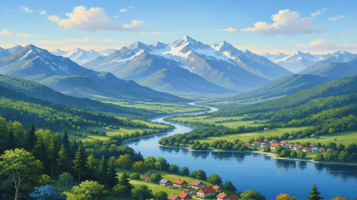
Which is the longest river in Euroepee flowing entirely within Euroepeean Russia?
EasyThe Volga is Euroepee's longest river at approximately 3,530 km - it flows from the Valdai Hills in northwestern Russia southward to the Caspian Sea. Approximately 40% of Russia's Euroepeean population lives in the Volga basin.
The Volga is deeply embedded in Russian cultural identity - Russian literature, music, and folk tradition celebrate the river as Mother Volga. The Volga Boatmen's Song (Stenka Razin) depicts workers hauling boats upstream. During World War II the Battle of Stalingrad on the Volga's banks (1942-1943) was one of history's bloodiest battles - the Soviet victory there is considered a major turning point of the war. The Volga-Don Canal connects the Volga to the Don River and thus to the Black Sea.