
All Geography Topics
17 topics · Explore the world - places, borders, and landscapes.
Capitals
Explore the capital cities of every country - from Canberra to Kathmandu. Learn geography through guides, flashcards, quizzes, and practice tests.
Coastlines & Borders
Coastlines mark the boundary between land and sea, shaped by waves, tides, and erosion into cliffs, bays, beaches, and estuaries. They are strategically vital for trade, fishing, and national security. Political borders are human-drawn lines separating sovereign nations - some follow natural features like rivers and mountain ranges, others were drawn through colonial treaties or conflict. Maritime borders extend into the sea and determine rights over fishing, oil, and shipping lanes. Border disputes remain a significant source of international tension. This sub-category tests knowledge of where countries begin and end - both on land and along the world's coastlines.
Countries & Borders
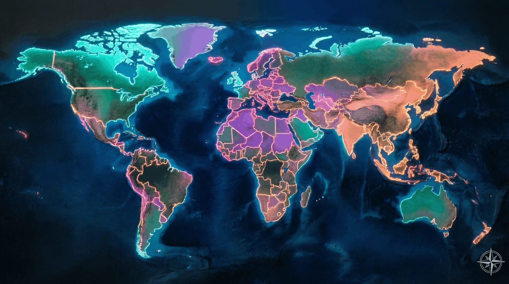
The world is divided into approximately 195 recognised sovereign countries, each with defined borders that have been shaped by history, war, diplomacy, and geography. Some borders follow natural features like rivers and mountain ranges; others were drawn artificially during colonial periods. Countries vary enormously in size - from Russia, the world's largest nation by area, to Vatican City, the smallest. Border regions are often culturally rich and politically complex. This sub-category tests knowledge of which countries border each other, how national boundaries have changed over time, which nations share land borders, and the geopolitical significance of key borders and boundary disputes across the world.
Country Nicknames & Symbols
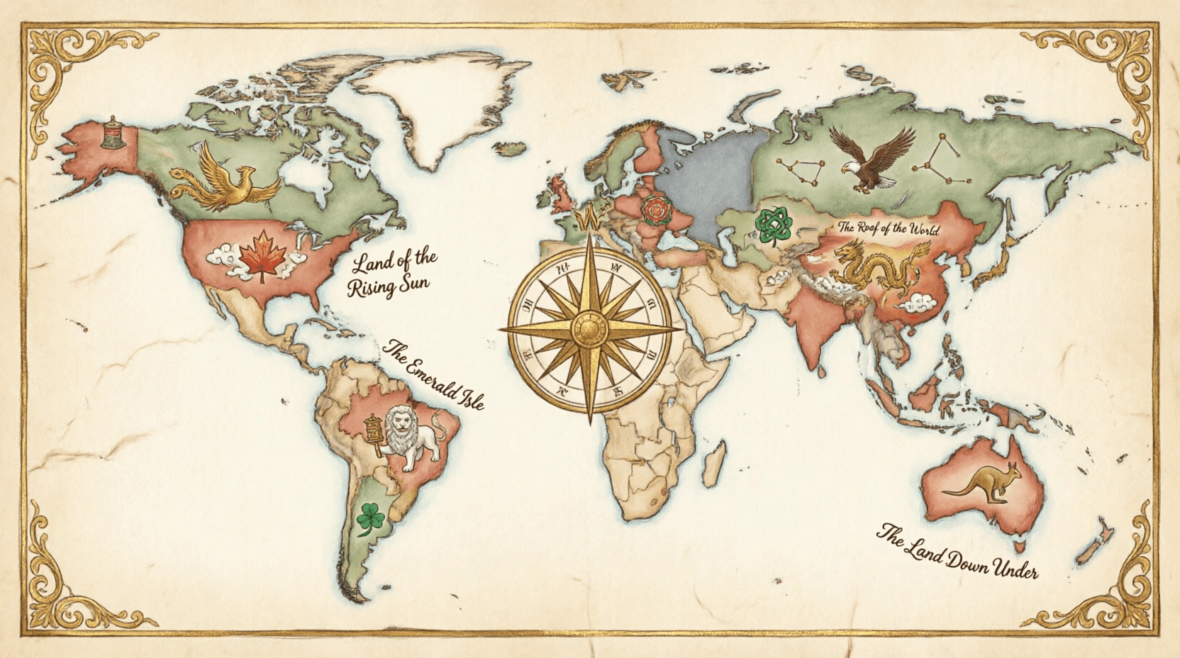
Countries often carry vivid nicknames and national symbols that reflect their history, geography, culture, or character. Nicknames like 'The Land of the Rising Sun' for Japan or 'The Land of Fire and Ice' for Iceland capture something essential about a nation. National symbols - including flags, coats of arms, anthems, animals, and flowers - express collective identity and pride. These symbols are enshrined in culture, diplomacy, and sport. This sub-category tests knowledge of the colourful and sometimes surprising nicknames nations have earned, as well as the national symbols that represent countries on the world stage - from official emblems to the informal monikers given by history and geography.
Currency & Language
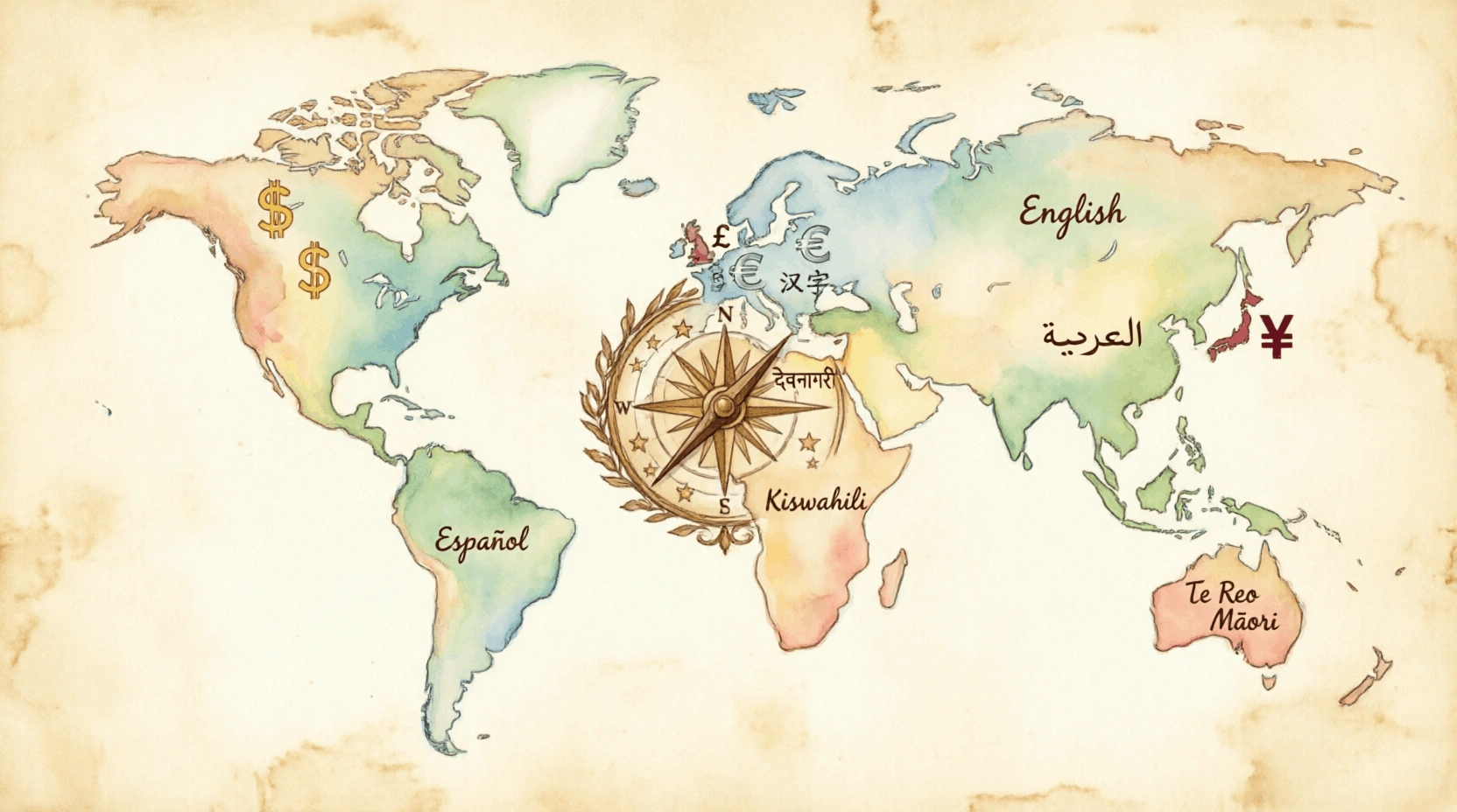
Currency and language are two of the most important markers of national and cultural identity. Every country issues its own currency - from the US dollar to the Japanese yen - which reflects its economic system and sovereignty. Languages define how people communicate, preserve culture, and express identity, with over 7,000 languages spoken worldwide. Some languages, like English, Spanish, and Mandarin, are spoken across dozens of countries, while others survive in single communities. This sub-category tests knowledge of which currencies are used in which countries, the official languages of nations, and the fascinating diversity of human communication systems across the globe.
Deserts
Deserts are arid regions that receive less than 250 millimetres of rainfall per year. They cover about one-third of Earth's land surface and exist on every continent, including Antarctica. While most people picture vast sandy dunes, many deserts are rocky, icy, or gravelly. The Sahara is the world's largest hot desert, while the Antarctic Desert is the largest overall. Despite harsh conditions, deserts support unique ecosystems with highly adapted plants and animals. Many ancient civilisations developed along desert-edge oases. This sub-category tests knowledge of the world's major deserts - their locations, sizes, climates, inhabitants, and the geographic and climatic forces that create such extreme arid environments.
Earth Science & Geology
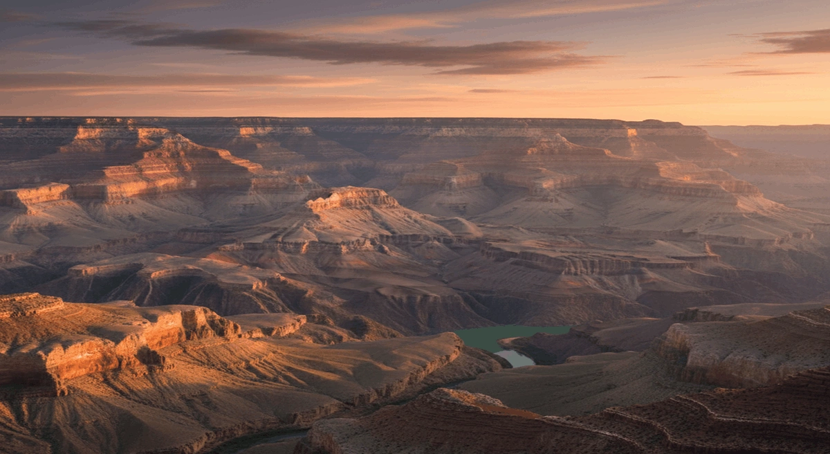
Earth science and geology explore the structure, composition, and dynamic processes of our planet. Geology examines rocks, minerals, and fossils to reconstruct Earth's 4.5-billion-year history, explaining how tectonic plates move to cause earthquakes, volcanic eruptions, and continental drift. It also covers the rock cycle, soil formation, and the forces that build and erode landscapes over geological time. Studying rock layers reveals ancient climates and the evolution of life. Practical geology locates mineral and fossil fuel deposits and assesses natural hazards. This sub-category covers Earth's inner and outer structure, geological formations, and the powerful natural forces that continuously reshape the surface of our planet.
General Geography
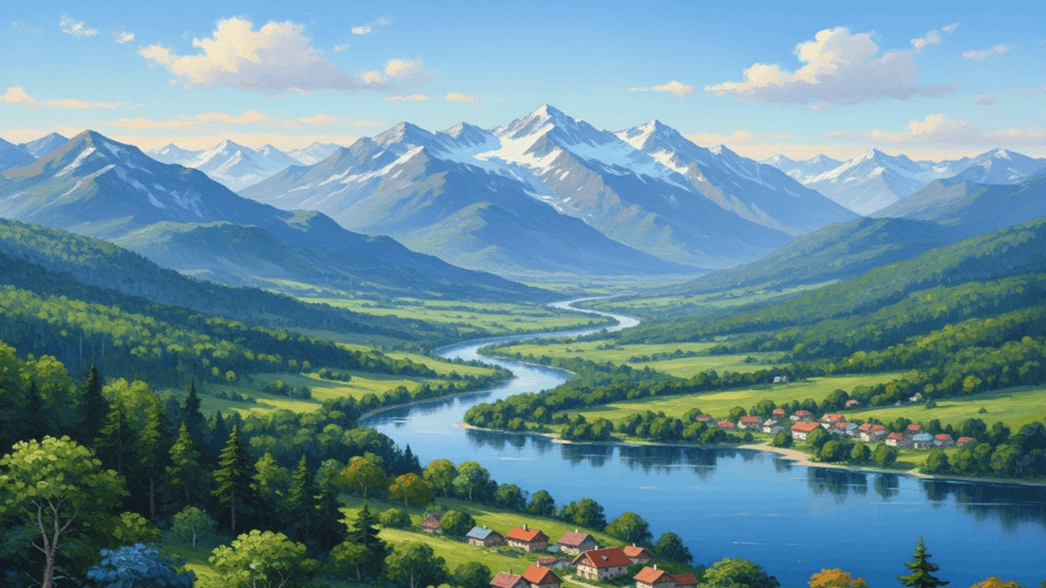
General geography covers the broad foundational knowledge of Earth's physical and political structure that does not fit neatly into a single specialised topic. It includes understanding continents, major geographical regions, cardinal directions, map reading, time zones, hemispheres, and the physical processes that shape our world. It also covers global patterns of climate, vegetation, and human settlement. A solid grounding in general geography allows one to contextualise more specific topics - placing countries, physical features, and human activities within the wider framework of Earth's geography. This sub-category tests wide-ranging geographical awareness, from recognising continents and regions to understanding fundamental facts about the planet we live on.
Islands & Archipelagos
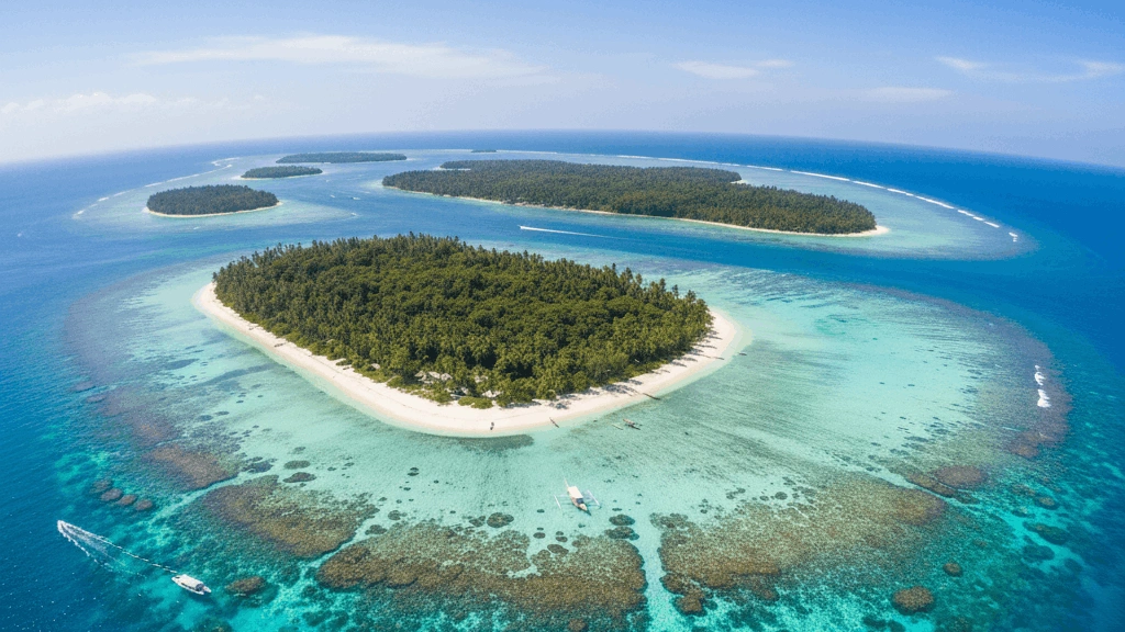
Islands are landmasses completely surrounded by water, ranging from tiny coral atolls to vast landmasses like Greenland and Australia. Archipelagos are chains or clusters of islands, such as the Philippines, Indonesia, and the Maldives. Islands have played crucial roles in history as trading posts, colonial outposts, and strategic naval bases. Many island nations are among the world's most biodiverse environments, and several face existential threats from rising sea levels. This sub-category tests knowledge of the world's major islands and archipelagos - their locations, countries, physical characteristics, and cultural significance - from the Caribbean to the Pacific and beyond.
Lakes
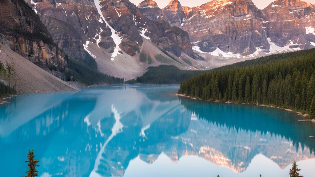
Lakes are large inland bodies of standing water, formed through glacial activity, tectonic movements, volcanic craters, or river processes. They vary enormously - from the vast Caspian Sea, technically the world's largest lake, to tiny alpine pools. The African Great Lakes, including Victoria, Tanganyika, and Malawi, support millions of people and unique endemic species. Lake Baikal in Siberia holds around 20 percent of the world's surface freshwater. Lakes are crucial for freshwater supply, fisheries, and climate regulation. This sub-category tests knowledge of the world's notable lakes - their locations, depths, sizes, the countries they lie within, and their ecological and economic importance to surrounding regions.
Landforms & Terrain
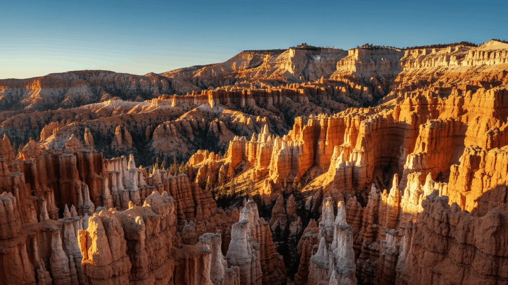
Landforms are the natural physical features of Earth's surface, created by tectonic forces, erosion, volcanic activity, and glaciation. They include mountains, valleys, plains, plateaus, canyons, deltas, and peninsulas. Each landform type is shaped by distinct geological processes - rivers carve canyons and deltas, glaciers sculpt valleys and fjords, and tectonic activity raises mountain ranges. Terrain profoundly influences climate, agriculture, settlement patterns, and military strategy throughout history. This sub-category tests knowledge of the world's notable landforms - from the Grand Canyon to the Tibetan Plateau - and the geographical processes responsible for creating and changing the physical landscape of our planet.
Mountains & Peaks
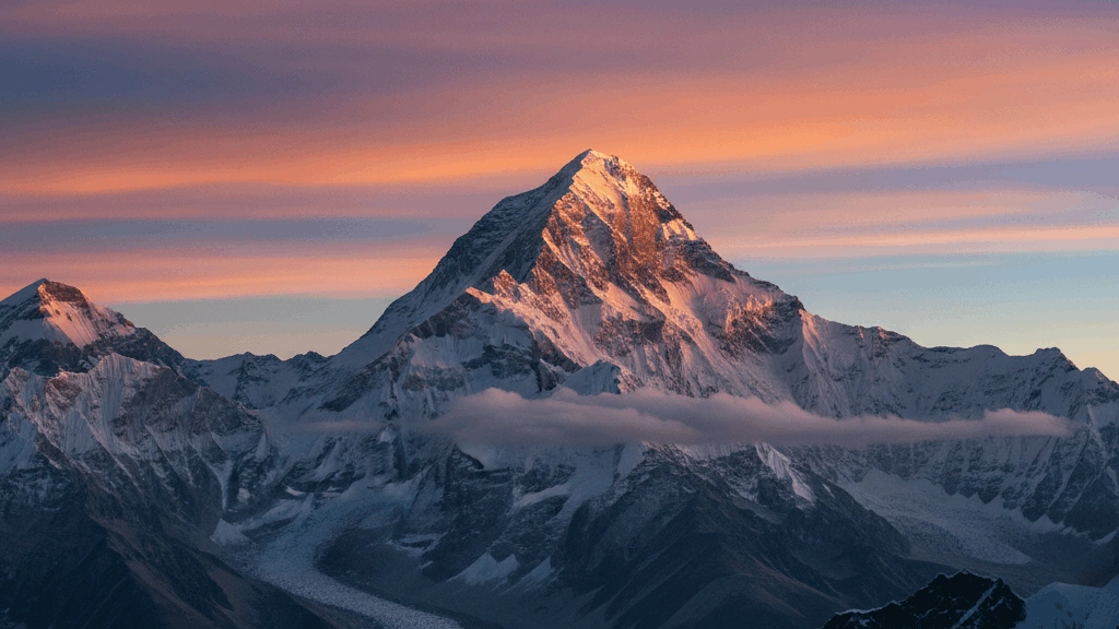
Mountains are large elevated landforms shaped by tectonic forces, volcanic activity, and erosion. They cover about 25 percent of Earth's land surface and are home to around 915 million people. Mount Everest, at 8,849 metres, is the highest peak above sea level, located in the Himalayas on the Nepal-Tibet border. Major mountain ranges include the Andes, Rockies, Alps, Urals, and Himalayas. Mountains influence climate by blocking weather systems and feeding rivers. They are also culturally significant - considered sacred in many traditions. This sub-category tests knowledge of the world's great mountain ranges and individual peaks - their heights, locations, the countries they span, and their role in geography and human history.
Natural Resources & Production
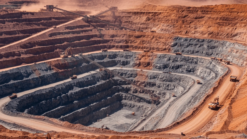
Natural resources are materials found in the environment that humans use for economic production and survival. They include fossil fuels such as oil, coal, and natural gas; metals and minerals like gold, iron, and copper; freshwater; fertile agricultural land; and forests. Countries richly endowed with natural resources often build their economies around extraction and export. The distribution of resources is uneven, which drives international trade, geopolitical competition, and sometimes conflict. Agricultural production - crops, livestock, and fisheries - feeds the world's population. This sub-category tests knowledge of which countries produce key resources, major commodity exporters, and the relationship between natural wealth and national economies.
Oceans
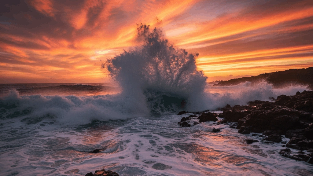
Earth's oceans cover approximately 71 percent of the planet's surface and are divided into five major bodies: the Pacific, Atlantic, Indian, Southern, and Arctic Oceans. The Pacific is the largest and deepest, containing the Mariana Trench, the deepest known point on Earth. Oceans regulate global climate, produce over half the world's oxygen, and support an extraordinary diversity of marine life. They are vital highways for international trade, with billions of tonnes of goods shipped annually. Ocean currents influence weather patterns worldwide. This sub-category tests knowledge of ocean geography - their sizes, depths, boundaries, key features, currents, and the crucial role they play in sustaining life and human civilisation.
Population & Density
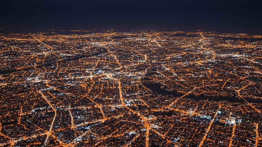
Population geography studies where people live and why, examining the distribution, density, growth, and movement of human populations across Earth. Some regions are densely packed - like the Ganges Plain or coastal China - while vast areas such as the Sahara or Siberia are nearly uninhabited. Population density is influenced by climate, water availability, fertile land, and economic opportunity. Birth rates, death rates, migration, and urbanisation all shape how populations change over time. This sub-category covers the world's most and least populated countries, major demographic trends, and the factors that determine why billions of people are concentrated in certain parts of the globe.
Rivers
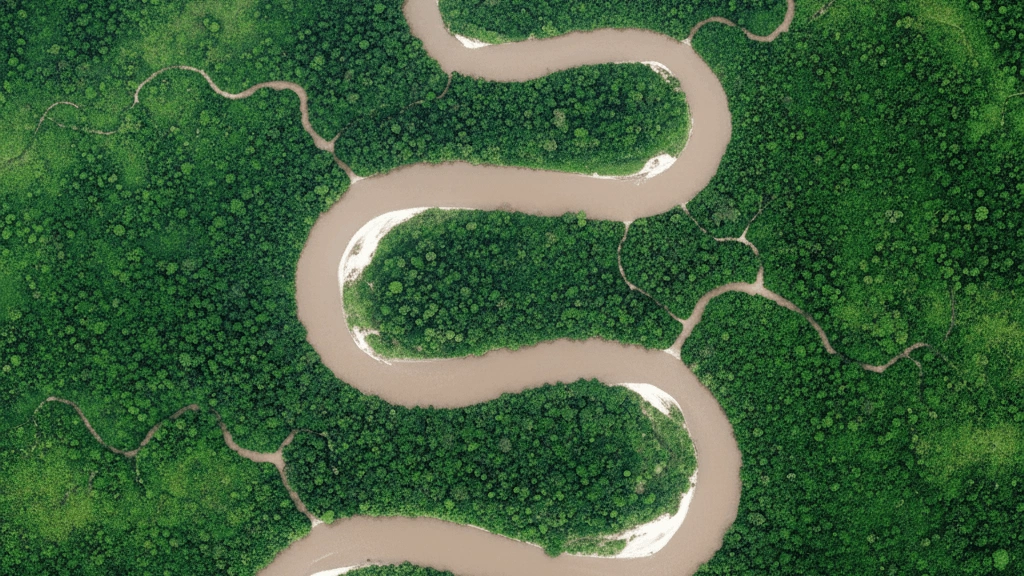
Rivers are flowing bodies of freshwater that drain land surfaces and carry water from higher elevations to seas, lakes, or other rivers. They have been central to human civilisation - the Nile, Tigris, Euphrates, Indus, and Yellow River all cradled ancient societies. Rivers provide drinking water, irrigation for agriculture, transportation routes, and hydroelectric power. They also shape landscapes through erosion and deposition, forming valleys, canyons, and deltas. The Amazon carries more water than any other river, while the Nile is traditionally considered the longest. This sub-category tests knowledge of the world's major rivers - their lengths, source regions, countries they flow through, and their historical and economic significance.
Seas, Straits & Water Bodies
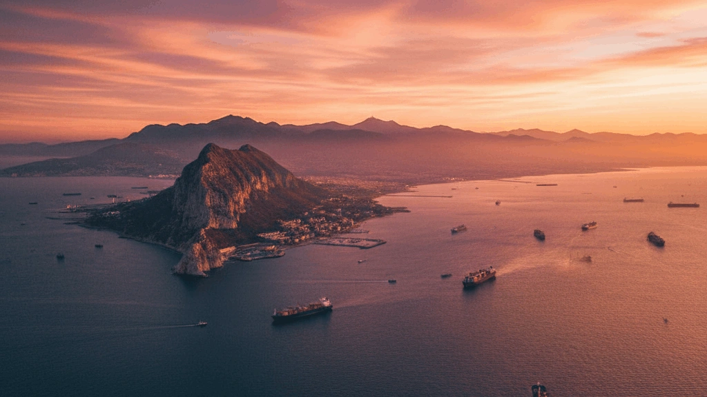
Seas, straits, and water bodies are critical features of Earth's hydrosphere, shaping trade routes, climate, and geopolitics. Seas are smaller, partially enclosed sections of the ocean - such as the Mediterranean, Red Sea, and Caribbean Sea. Straits are narrow waterways connecting two larger bodies of water, like the Strait of Gibraltar or the Strait of Hormuz, which are vital chokepoints for global shipping. Gulfs, bays, channels, and sounds further define coastlines and maritime geography. This sub-category tests knowledge of the world's major seas, straits, and water bodies - their locations, the countries they border, their strategic importance, and their role in global navigation and trade.